Record cold
The tenth stretching exercise of the polar vortex in the 2024-2025 cold season coupled with a trough in the troposphere over the north central section of the continent. A visual image of the polar vortex stretching yesterday afternoon is shown in Figure 1. When the polar vortex is in its more "normal" state, it is more circular in shape and generally follows the Arctic Circle. Well yesterday it was stretching into the U.S. and into Siberia, where it is also very cold.
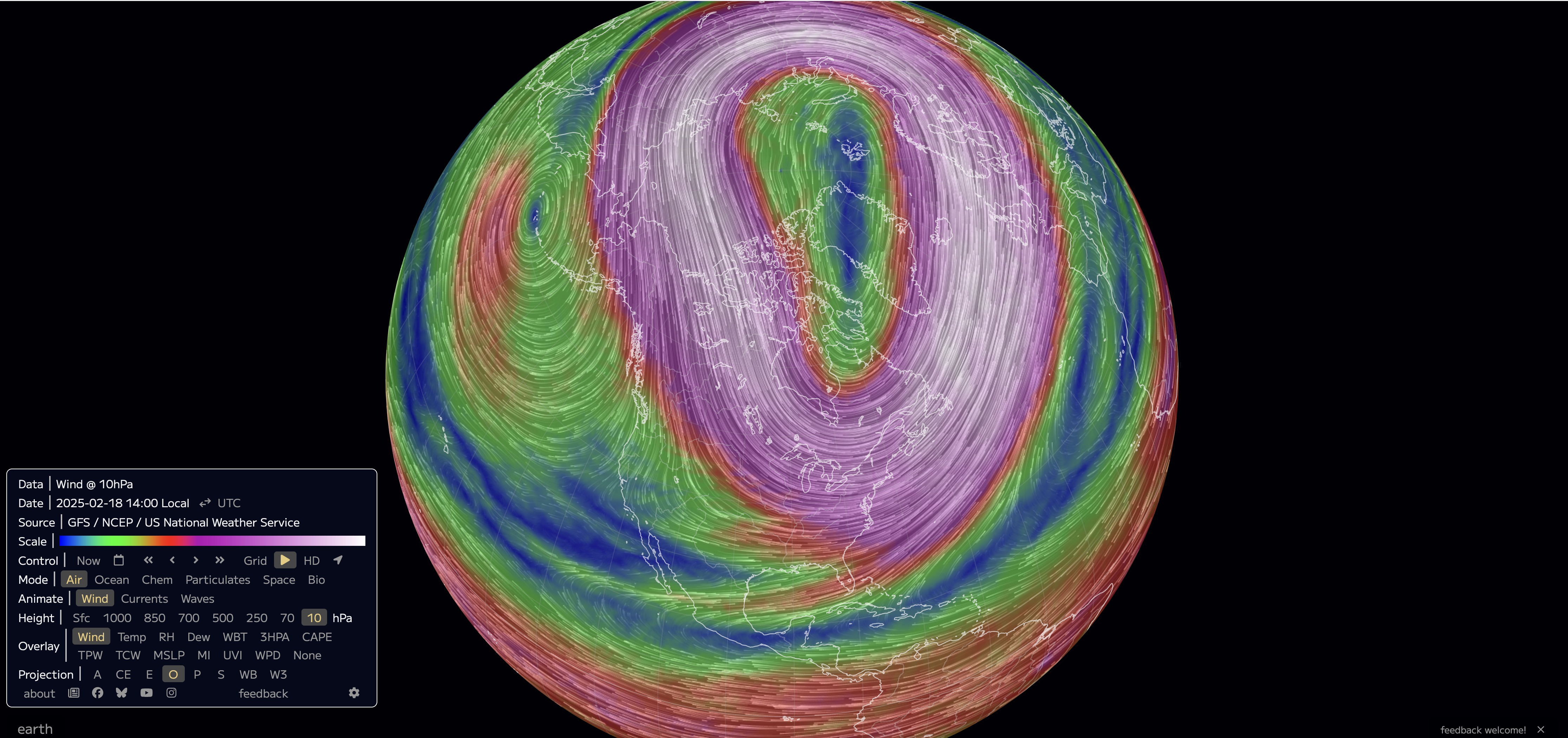
Figure 1. Wind speed at 10 mb yesterday afternoon at 2 PM CST. This pressure level is used to observe the polar vortex in the stratosphere.
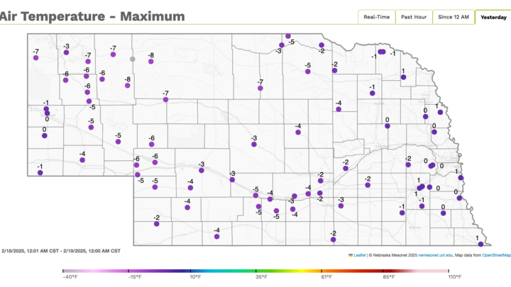
This has brought not just cold air, but record breaking cold air into Nebraska and the broader region. No location has set all-time record cold temperatures but this cold is impressive for this late in the season. The following locations (with near-continuous long-term records) set record low high temperatures on Tuesday: Grand Island (-3°F), Hastings* (-2°F), Omaha (2°F), Lincoln (1°F), Norfolk (1°F), North Platte (-2°F), Valentine (-4°F), McCook* (-2°F), O'Neill (-5°F). For Hastings and McCook this was the latest subzero high temperatures on record. North Platte (-15°F) and Valentine (-27°F) also set record low temperatures for February 19th this morning. These records broke records set at the end of a prolonged stretch of brutal cold in 1936.
The location of the surface high over western South Dakota yesterday meant that winds at the surface had an easterly component to them. For central and western Nebraska, this is a perfect recipe for the coldest possible temperatures as the cold air had an upslope component to it. This combined with shortwave energy to the south helped produce some light snow yesterday across the southern half of the state and it helped ensure maximal cold. Western Nebraska is often more mild than the eastern side of the state in mid-winter in part because of a westerly component to the wind, which allows for some compressional warming thanks to the elevation gradient between the Rockies and the High Plains. But in this area if the wind is straight out of the north or northeast, it can get very cold.
These polar vortex stretching events have been getting more frequent in the last few decades with changes in the Arctic, thanks to the warming planet. This is often showing up in the month February and this will be another winter where February is the coldest winter month.