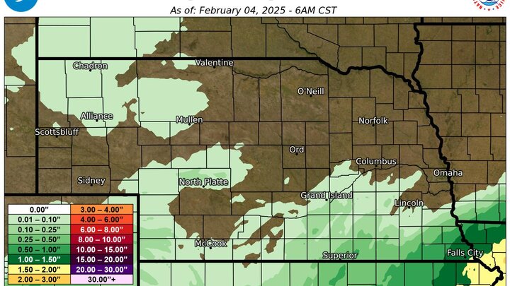
Southeast Nebraska gets moisture. Very little anywhere else
A storm system brought significant rainfall to the far southeast section of Nebraska last Thursday night with a tenth to a quarter of an inch of rain falling across a broader section of southern Nebraska. The remainder of the state had negligible or no precipitation from that system.
Official statewide numbers for January 2025 aren't in yet. But most of the state was much drier than average, with Lincoln and Omaha having their 10th and 5th driest January's on record. Some areas northwest of Norfolk did not have any measurable precipitation.

Figure 2. 30-day precipitation ending February 4th.
Given that this is the driest time of year, the deficits were not large in an absolute sense. But soil moisture has declined some over the past month with the lack of precipitation. Most of the state is short on soil moisture and the gains made in November are slowly being chipped away. Driest soils relative to normal are found in the North Central and Panhandle regions of the state but most places now are at least in the 30th percentile or lower for moisture.
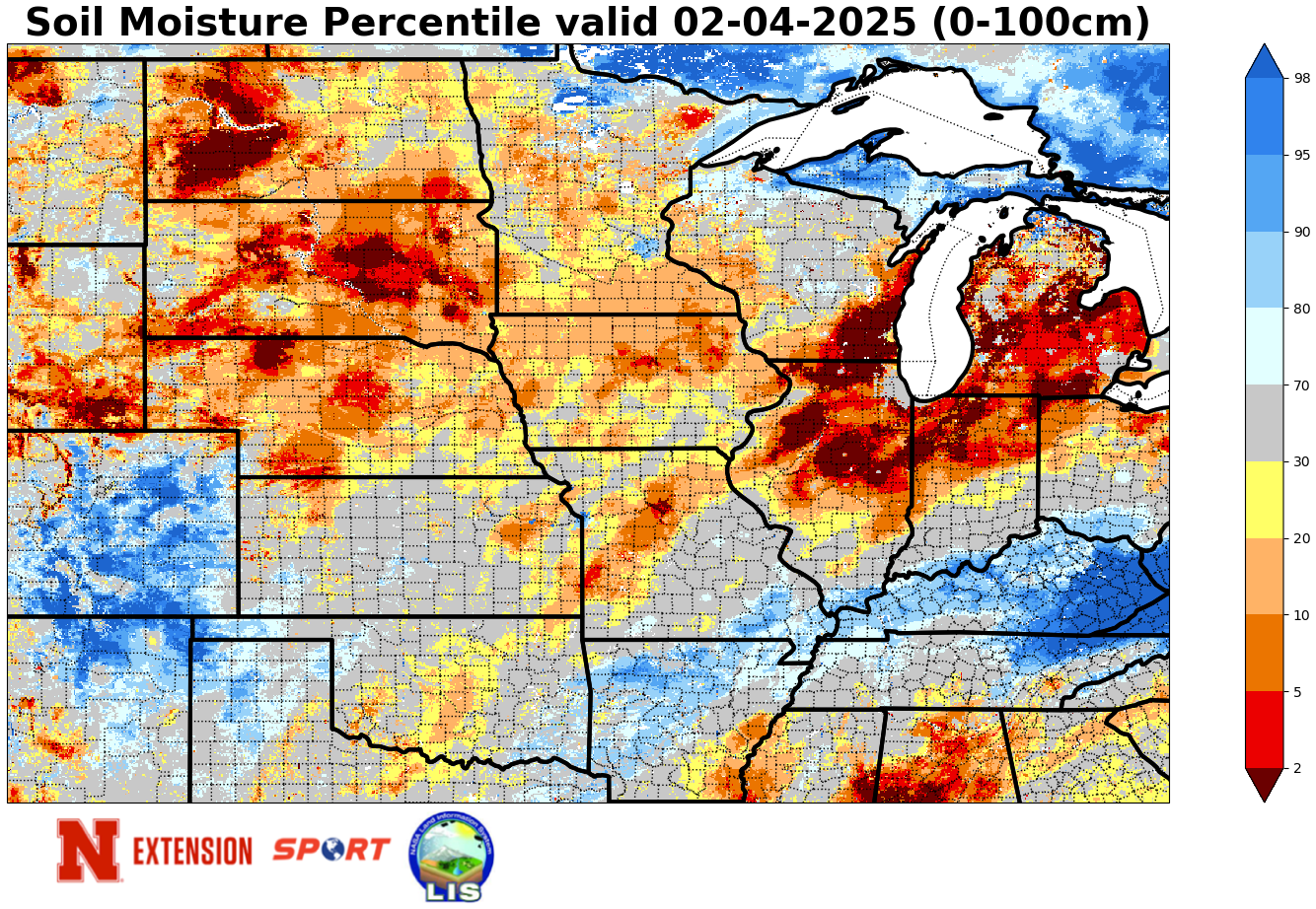
Figure 3. Soil moisture percentiles for February 4th.
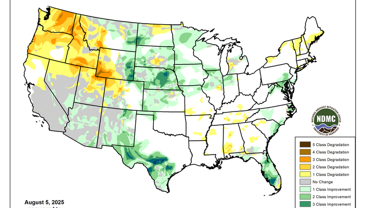
Drought not getting worse. But not getting better either.
The almost complete lack of snow this year for the state (with a few exceptions) has not necessarily made the drought worse in a technical sense. But it has meant that we are losing soil moisture, albeit in not huge quantities, instead of preserving moisture that we do have. The lack of snow cover also helps temperatures moderate much more quickly this time of year when we are under warmer air masses. Hence, the number of days where we have had high temperatures in the 50's to low 60's over the last few weeks after the last cold snap.
If there had been snow on the ground in January, our temperatures would have been considerably colder. As it was, Falls City had a colder January than Omaha because of the presence of snow in the area around Falls City compared to the lack of it further north. The lack of snow cover means mid-winter temperatures get warmer than historical norms rather easily (absent strong cold advection) and those warmer temperatures and sun can lead to losses of moisture from the top part of the soil.

Figure 4. Seasonal snowfall departure as of February 4th.