
Hello NSCO community! Happy last week of February. This past week, across Nebraska, there were above-normal temperatures, dangerous fire weather conditions in the southwest portion of the state, and an unfortunate, and hopefully short, return to winter conditions.
Looking back over the past week, we experienced a broad upper-level ridge over the central United States, supporting temperatures 25–30 degrees above seasonal averages statewide. Highs climbed into the mid to upper 60s on Monday, then rose even higher, well into the 70s on Tuesday, with parts of south-central and eastern Nebraska experiencing the warmest temperatures. Lincoln and areas of southeast Nebraska pushed toward the upper 70s , while western and northern Nebraska generally remained in the upper 60s to mid-70s. Relative humidity values dropped sharply on Tuesday afternoon, falling as low as 10–20 percent in portions of western and central Nebraska. Combined with gusty winds, this created extreme fire weather conditions across much of the state.
This posed a danger to nearby towns and communities, especially from the Ranger fire, which started in the Panhandle of Oklahoma and burned an estimated 300,000 acres of grassland. The state experienced some fire situations, specifically in the southeast portion of Nebraska, near the towns of Grafton and Henderson. Over the weekend of the 14th and 15th, and into Monday on the 16th, a burn pit outside a nearby farm re-ignited, and burned for around 2 hours, luckily causing no property damage, or fatalities, but re-affirming the concern for these extremely dry conditions that are being experienced for the state, which are set to continue through the remainder of this week.
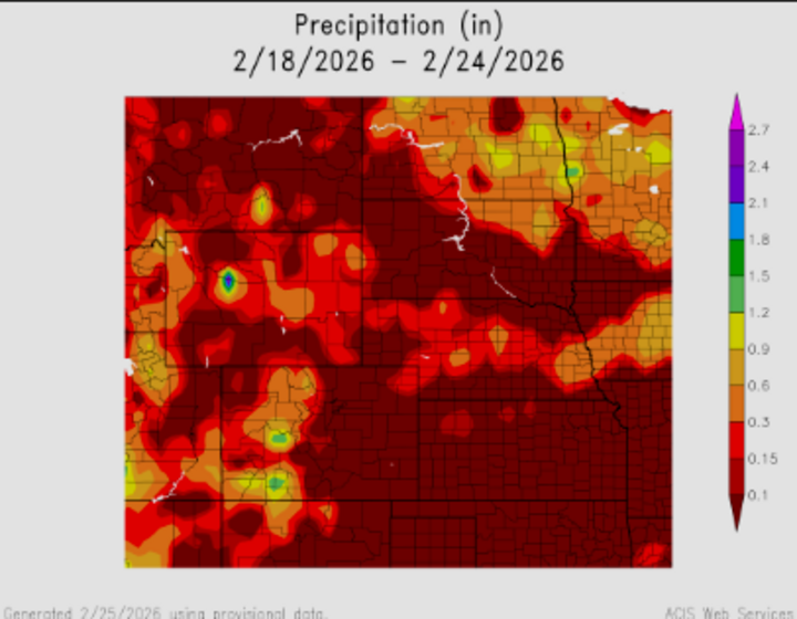
At the mid-levels, 850-mb temperatures ranged from 48–57°F, which strongly supported the incoming surge of surface warmth through the deep mixing and down-sloping of the westerly flow. By Tuesday afternoon, strengthening westerly winds developed in response to a deepening surface low over South Dakota, with gusts reaching 45–55 mph across western Nebraska. A transitioning trough began advancing eastward from the western United States throughout the past week. As this system moved into the Plains late week, mid-level height falls, and increasing vorticity advection supported cyclogenesis over the central Plains, with the possibility of some precipitation providing relief for the state within the week of February 23rd.
A cold front pushed west to east Tuesday evening, bringing a wind shift and a slight chance of light rain, though dry low-level air limited measurable precipitation. Behind the front, temperatures remained above average on Wednesday, though slightly cooler than on Tuesday. Fire weather concerns persisted into Wednesday as humidity recovery remained poor. To highlight these extremes, the following temperatures and a case of high wind gusts were noted in parts of the state.
Temperature Extremes (Observed/Forecast Trends)
- Maximum High Temperature: Upper 70s across southeast Nebraska
- Minimum High Temperature: Mid 60s across northern Nebraska
- Minimum Relative Humidity: 10–15% across western Nebraska
Wind Gusts: 45–55 mph across western Nebraska on Tuesday
In summary, Nebraska transitioned from record-breaking warmth and extreme fire danger early in the week to a much more seasonable, active late-week pattern, which will be gone over in more detail for next week's discussion.


