Hello NSCO Community! I just got word that this weekly weather discussion was not posted on Monday due to technical issues, so I greatly apologize for not getting this up in the timely manner I originally thought I had. I will proceed with what I discussed from Nebraska's weather this past week into early March.
During the early part of the past week starting the 23rd of February, Nebraska remained under the influence of a lingering Arctic air mass, associated with a surface high-pressure system, keeping Monday temperatures mainly in the 20s and 30s across eastern and northern portions of the state, with below-zero morning lows observed where snowpack has not yet melted for those parts of the eastern northern areas of Nebraska. As the high shifted eastward, a gradual statewide warming trend developed. Western and southwestern Nebraska warmed fastest under downslope westerly flow, reaching the 50s by Tuesday, while eastern Nebraska remained slightly cooler due to lingering snow cover and cloudiness over the area for most of the week. Humidity steadily decreased through mid-week, contributing to increasingly dry conditions, while precipitation chances returned by Wednesday as an approaching trough moved into the Central Plains.
At the synoptic scale, strengthening warm air advection became evident by Tuesday as 850-mb temperatures climbed into the 40s–50s °F range, supporting widespread surface highs in the 50s and eventually 60s across much of the state. Aloft, broad northwesterly flow transitioned toward weak ridging before a shortwave trough descended from the northern Rockies mid-week. This feature enhanced lift across northern and eastern Nebraska on Wednesday afternoon and evening, allowing scattered precipitation development. By late week, renewed ridging and downslope westerly flow continued to promote warming and efficient boundary-layer mixing.
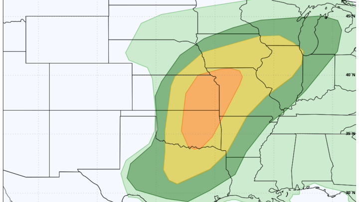
A dry cold front moved through on Tuesday, shifting winds westerly and accelerating the warmup without producing precipitation. The primary frontal passage occurred on Wednesday as a weak surface low developed over northwestern Nebraska, extending a frontal boundary across the state. This system generated scattered rain showers, with brief rain–snow mixing possible across northeast Nebraska before temperatures rose above freezing. Behind the boundary, gusty northwest winds developed, especially across the Sandhills and Panhandle, elevating fire weather concerns to near-critical through Thursday and Friday.
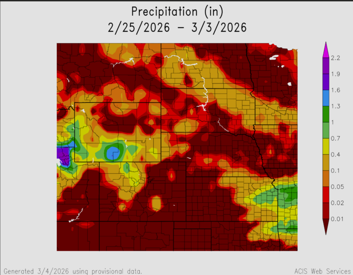
Precipitation totals during the week remained light overall. Most locations received only brief showers Wednesday afternoon through evening, generally producing less than 0.05–0.20 inches of liquid equivalent, with the highest percentages being across north-central and northeastern Nebraska. Snow accumulation was minimal, limited mainly to a dusting near the South Dakota border and portions of northeast Nebraska. Dry and increasingly warm conditions quickly followed, preventing any meaningful precipitation impacts statewide. Below are some noted highs and lows, as well as a maximum average precipitation estimate for the state this past week.
Temperature and Precipitation Extremes (Observed/Estimated Statewide Trends):
- Maximum High Temperature: ~68°F, Southwest Nebraska (Friday)
- Minimum High Temperature: ~35°F, Northeast Nebraska (Monday)
- Minimum Low Temperature: Near -5°F, Northern Nebraska (Monday morning)
- Maximum Low Temperature: Mid-30s°F, South-Central Nebraska (Wednesday night)
- Maximum Weekly Precipitation: ~0.15–0.20", North-Central Nebraska
Overall, Nebraska experienced a colder week due to the Arctic air mass, then entered a warming trend toward spring-like warmth. Mesonet observations from stations such as Scottsbluff, North Platte, Grand Island, Norfolk, and Omaha show a steady upward temperature trend throughout the week, alongside declining relative humidity and limited precipitation coverage. The statewide signal highlights strong warm-air advection, followed by mild, dry conditions, before cooler air is expected to return heading into the following weekend.