Pleasant end to week
There will be a chance for scattered showers across eastern Nebraska late Thursday night into Friday but the weekend looks very across the state. Sunshine, highs in the 70's, and a mild breeze from the south will be the rule. Get out and enjoy it!
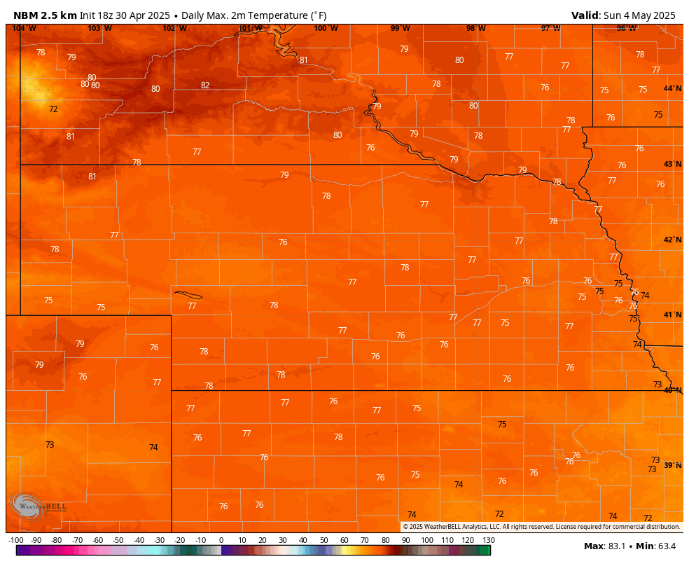
Figure 1. Projected high temperatures on Sunday
Wetter west, generally warmer than average
Next week will feature a slow moving trough going from the southwestern U.S. into the southern Plains. Ridging will be dominant over Ontario, which will help keep temperatures generally warmer than average next week and likely will keep the Midwest dry most of next week. The Front Range/High Plains Region is likely to be wet next week, perhaps very wet down in southwest Kansas into Texas. The good news is most of western Nebraska stands to get a good shot at an inch-plus of moisture. Right now the best chance of significant precipitation appears to be Tuesday with additional chances on Thursday into Friday next week.
The question will be how far east the precipitation makes it. Central sections of the state should get some precipitation later Tuesday into next Wednesday and areas of south central Nebraska closer to Kansas have a better chance later in the week. Precipitation may make it all the way into western Iowa if the system makes it a little father northeast and/or the drier air coming in from the east (thanks to the ridge) is less prominent. Right now it looks like eastern Nebraska, especially northeast Nebraska, will be dry most of next week. This is good news for planting and other field work; less so for getting some needed moisture.
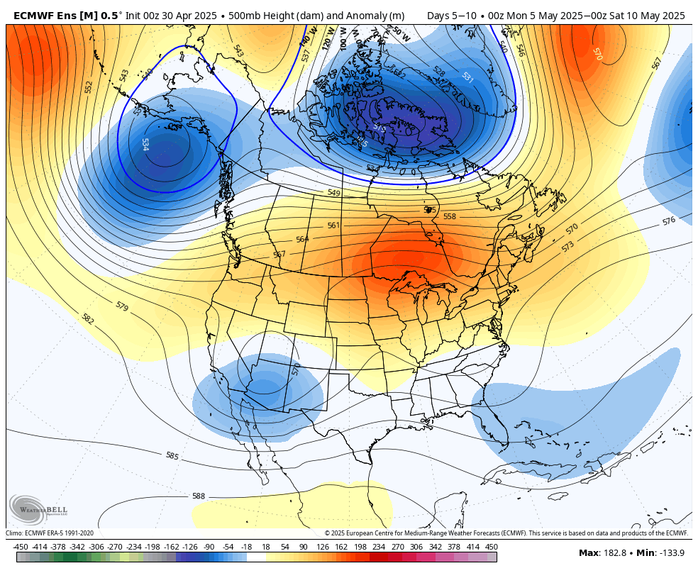
Figure 2. 500-mb height anomaly average next week.
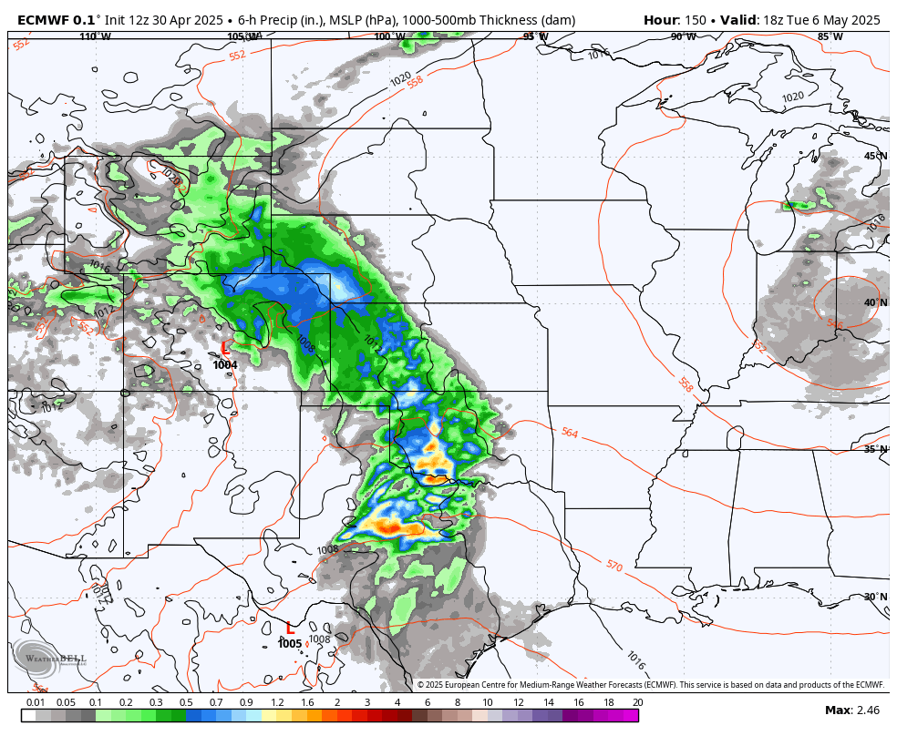
Figure 3. Precipitation expected in western Nebraska on Tuesday
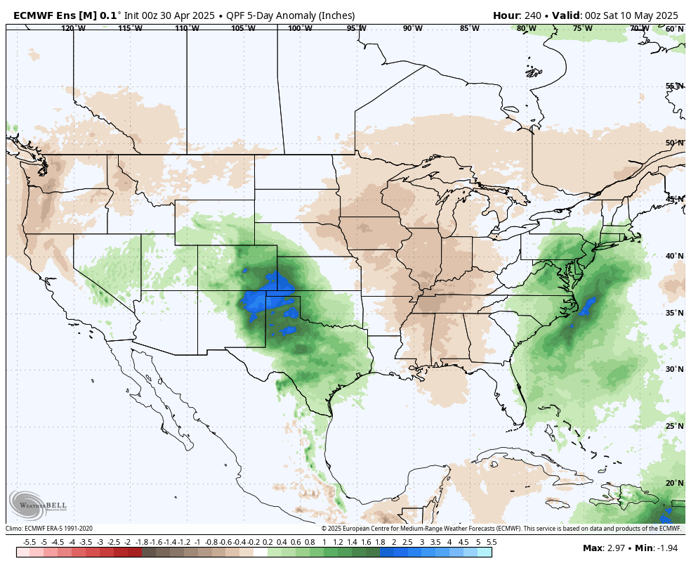
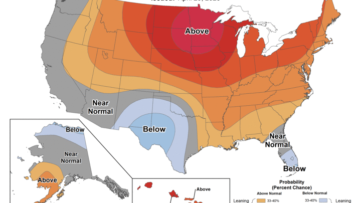
Figure 4. Precipitation anomalies next week
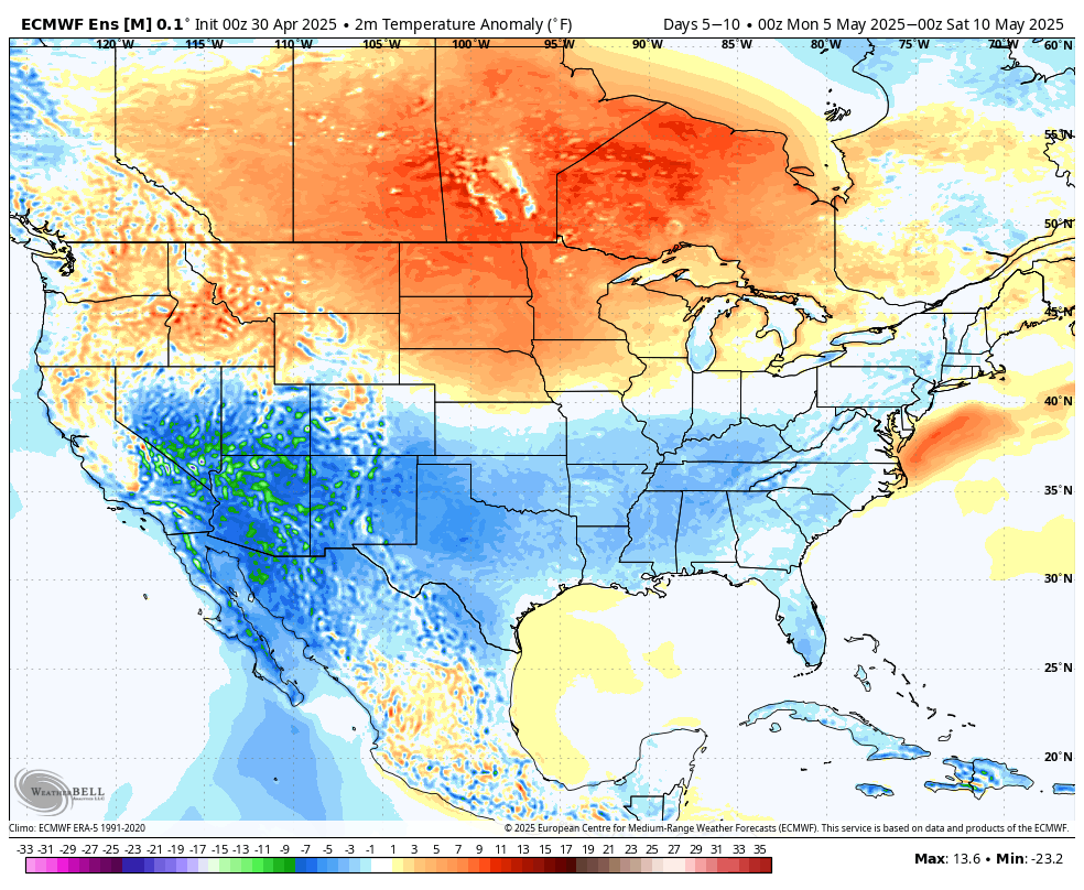
Figure 5. Temperature anomalies next week


