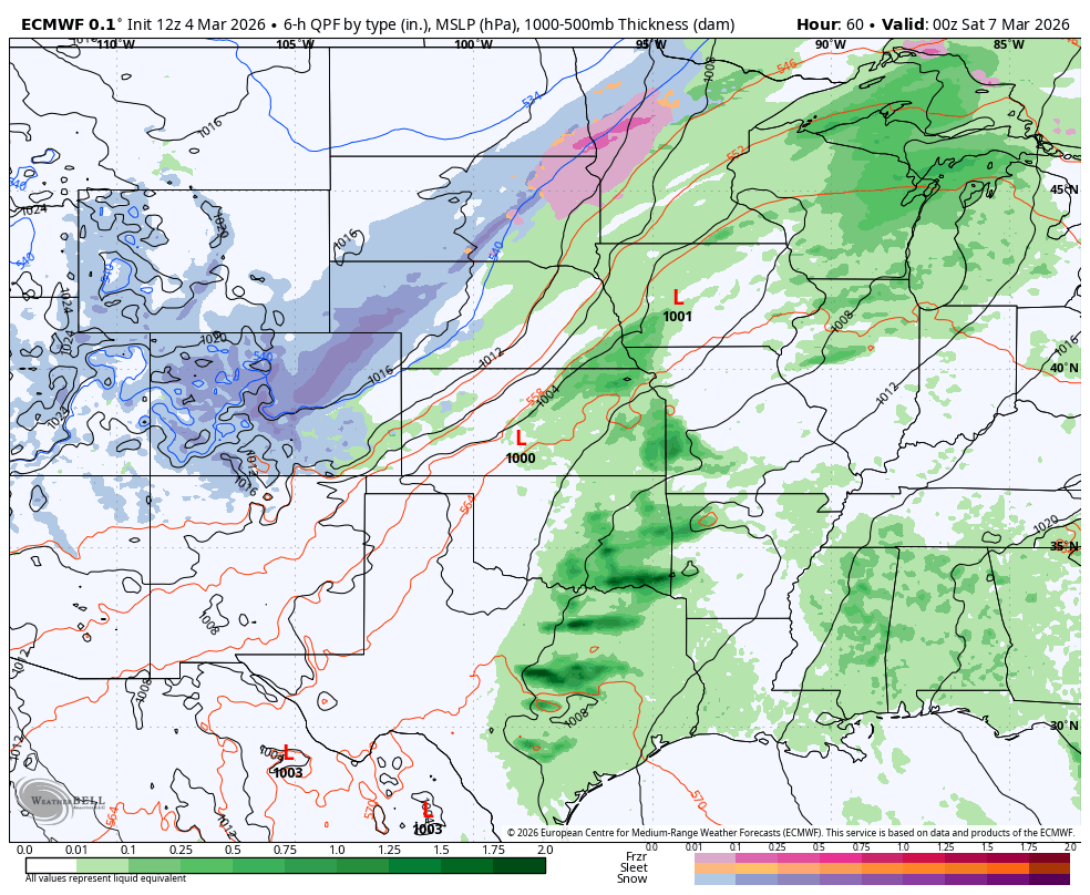
Rain and storms Thursday night
For the first time in what feels like ages, we actually have a good chance of moisture for a good portion of the state. A lovely day is in store for the state tomorrow with highs in the 60's to lower 70's and sunshine. By tomorrow night a trough will be making its way into the southwest U.S. (Fig. 1) and a surface low will be developing along the Front Range in Colorado.
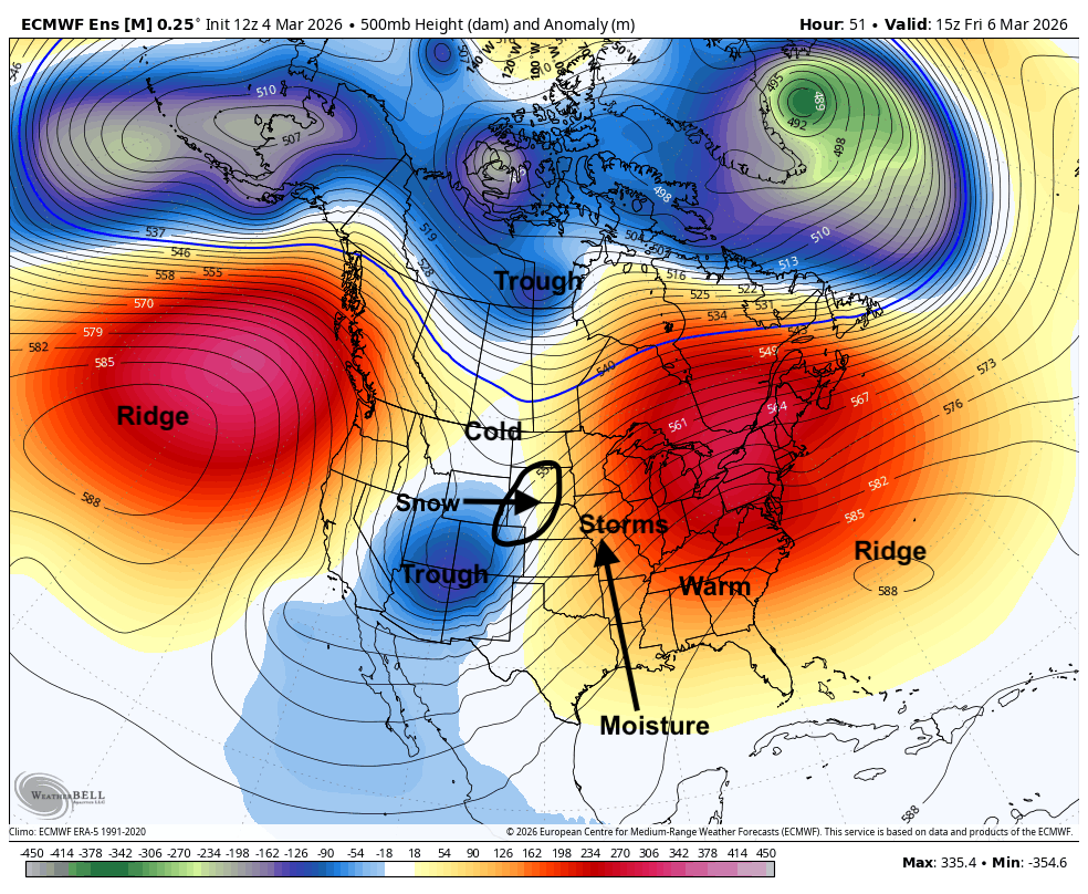
Figure 1. 500-mb height anomalies on Friday morning.
The combination of lower pressure to the west and high pressure to the southeast will create a tighter pressure gradient and a strong low level jet (Fig. 2). This will allow for strong moisture return and with enough vertical motion in place over the central Plains/Western Corn Belt from the low level jet, there will be a good chance for showers and elevated storms after midnight in the eastern half of the state. Severe risk is not super high but small hail will be possible. Certainly don't be surprised to hear thunder at times tomorrow night.
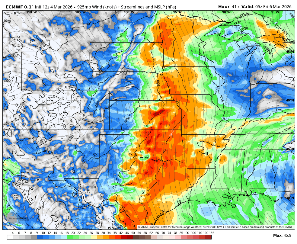
Figure 2. 925-mb wind speeds and directions
Snow to severe on Friday
As the storm lifts toward the northeast during the day on Friday a strong cold front will be moving through the state. On the backside of the storm, snow is expected to develop in western Nebraska down into northeast Colorado. Snow rates may be moderate at times and with winds gusting to 35-40 mph, visibility will be poor west of North Platte on Friday afternoon. Accumulations may exceed 4" in parts of the southern Panhandle.
On the eastern side of the state, severe weather is possible on Friday afternoon. This will be highly dependent on the speed of the frontal passage. If the surface low in Kansas moves northeast more quickly and helps drive the front through the state by early Friday afternoon, the severe threat will be entirely east of the state. A slower passage would put it along a line from Tekamah to Hebron by mid-afternoon. This would allow for a good chance of storms capable of producing hail in the southeast quadrant of the state between 3 PM and 7 PM. On the back side of the cold front, it is possible there may be areas of showers from central and eastern Nebraska on Friday evening with snow possible in the Sand Hills.