
Main Highlights
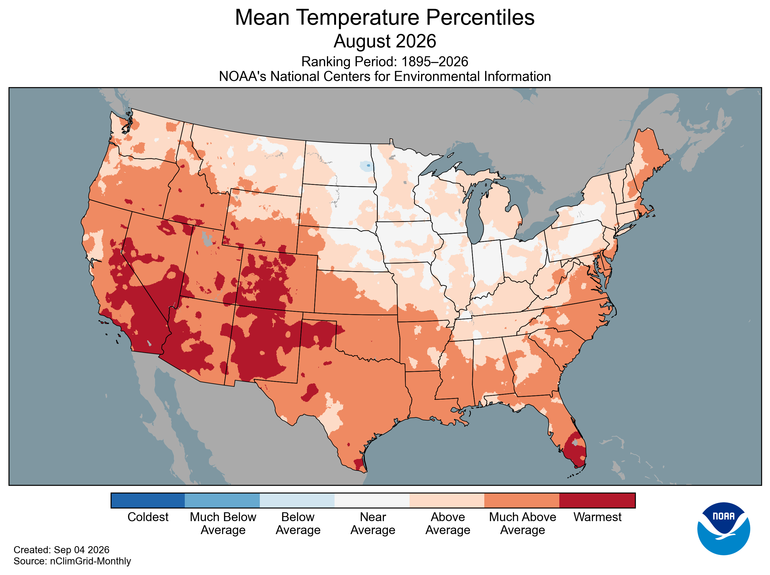
For the United States, this was the warmest August in terms of maximum, minimum, and average temperature. July was also the warmest, and June was also well above average for the United States, which made this the warmest summer on record for the United States, while Nebraska would only be the 25th warmest. Nebraska’s average temperature in August 2026 was 74.1°F, 1.8°F above the 20th-century average, making this the 17th consecutive month with an above-average temperature. The Panhandle climate division had the largest departure from normal at 3.9°F above average, making it the 9th warmest August for this division. Additionally, it was the 10th warmest minimum temperature for Nebraska at 61.9°F.
The average precipitation across Nebraska was 3.56” for August 2026, 0.89” above the 20th-century average. The division with the largest change was the east-central climate division, where they received 1.57” above average, totaling an average of 5.03". The north-central climate division also saw an increase of 1.08", which would make it the 18th wettest August. The southernmost climate divisions received the least amount of rainfall, but they were still above the 20th-century climatological average.

With the help of the above-average precipitation in August, Nebraska was able to narrow the gap for the water year. Nebraska is now at 17.40” of precipitation for the water year, which is 3.07” below average and is the 20th lowest.
Weather and Drought Summary
Nebraska’s severe weather was quiet for the first time week before picking back up in August with 246 preliminary storm reports. On the 27th, 92 mph winds were measured in Stapleton, and 4.5-inch hail 5 miles northwest of Clinton on the 11th. There was an even distribution across the state for reports.

Drought conditions did improve for much of central Nebraska with the help of the above-average rainfall. Nebraska started out with 82% of the state in a drought (D1-4). Areas with exceptional drought (D4) almost halved over August, with a large portion of the state seeing a class one improvement. By the end of August, 65% of the state was in a drought (D1-4).

Temperature and Precipitation Extremes
Maximum High Temperature: 110°F, 3SW Chadron
Minimum High Temperature: 61°F, O’Neill
Minimum Low Temperature: 40°F, 3E Agate
Maximum Low Temperature: 81°F, 3E Agate
Maximum Precipitation: 9.65”, North Loup

